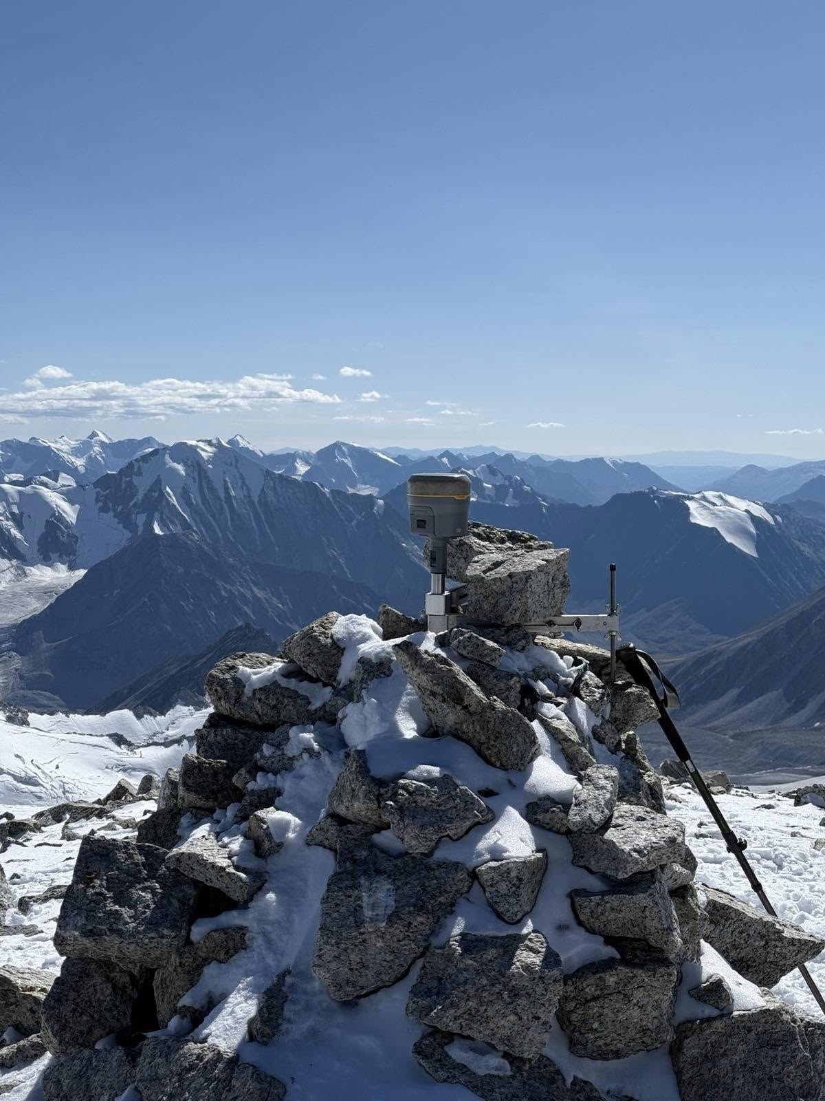
The General Authority for Land Management, Geodesy and Cartography of Mongolia, in cooperation with the Mongolian National Mountaineering Association and related companies, conducted high-precision GNSS measurements of Mongolia’s highest point, Khuiten Mountain, and the westernmost point of the three-country border, Tavan Bogd Mountain, from August 2 to 11, 2025, in Bayan-Ölgii Province.
Previously, the elevations of these mountains had been measured using analog methods. This time, the team used the latest equipment, including Trimble R12 and Trimble Catalyst, to precisely determine the coordinates and elevations of the mountain peaks.
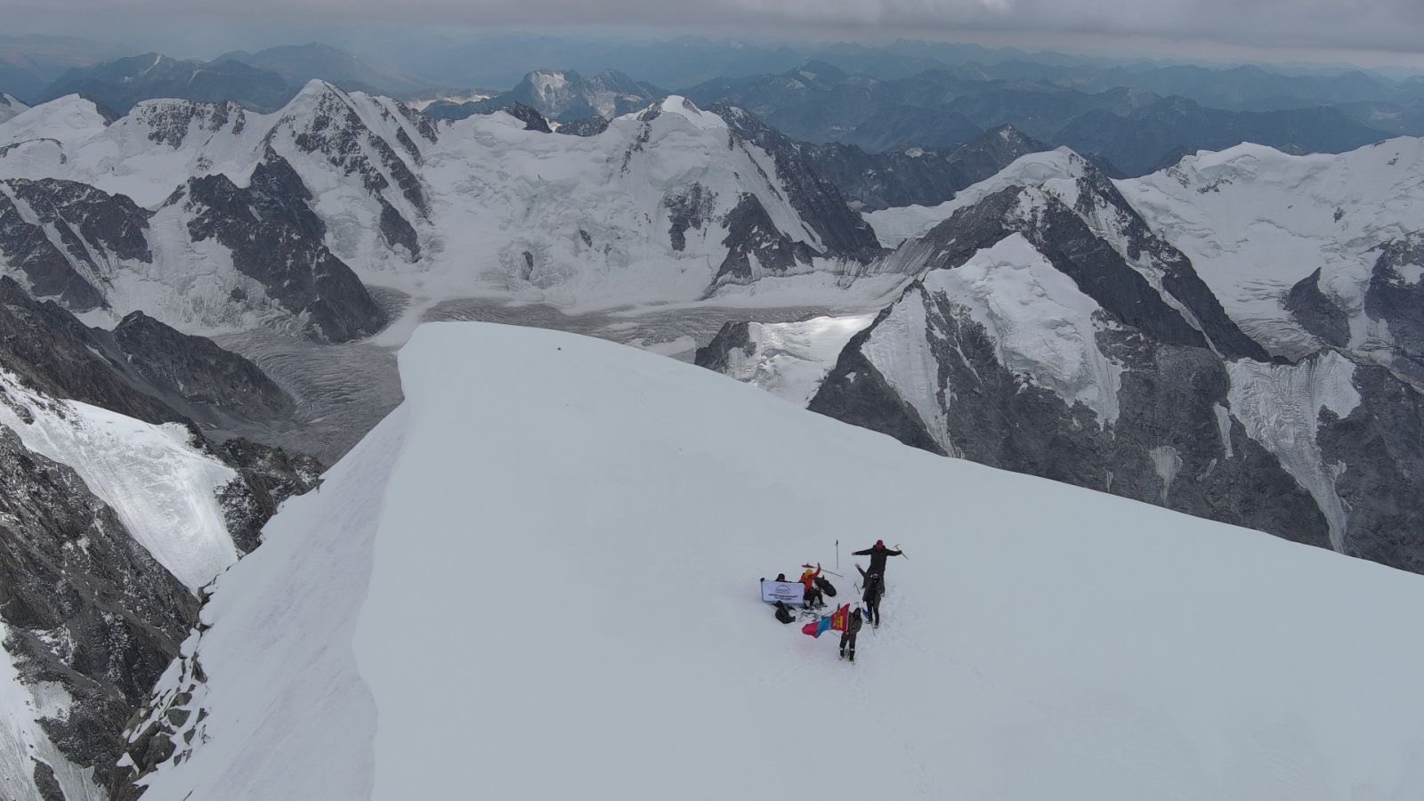
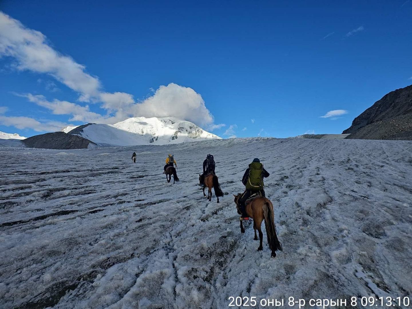
The survey team, composed of Mongolian chief engineers, technical specialists, and mountain guides, successfully completed the challenging work in the icy high mountains. At the end of the project, the Mongolian national flag placed on the peaks was handed over to the Director of the General Authority for Land Management, Geodesy and Cartography.
In the future, the official data on mountain names, elevations, and locations will be updated in cooperation with the Mongolian National Mountaineering Association.
Notably, while previous reports listed the elevation of Khuiten Mountain as 4,374 m, the new precise measurement confirmed the official elevation to be 4,350 m.